


RSS Error: A feed could not be found at `https://www.dcourier.com/rss/headlines/`; the status code is `404` and content-type is `text/html; charset=UTF-8`

RSS Error: A feed could not be found at `http://rssfeeds.azcentral.com/phoenix/local`; the status code is `404` and content-type is `text/html`

RSS Error: A feed could not be found at `http://www.inmaricopa.com/feed/`; the status code is `403` and content-type is `text/html; charset=UTF-8`
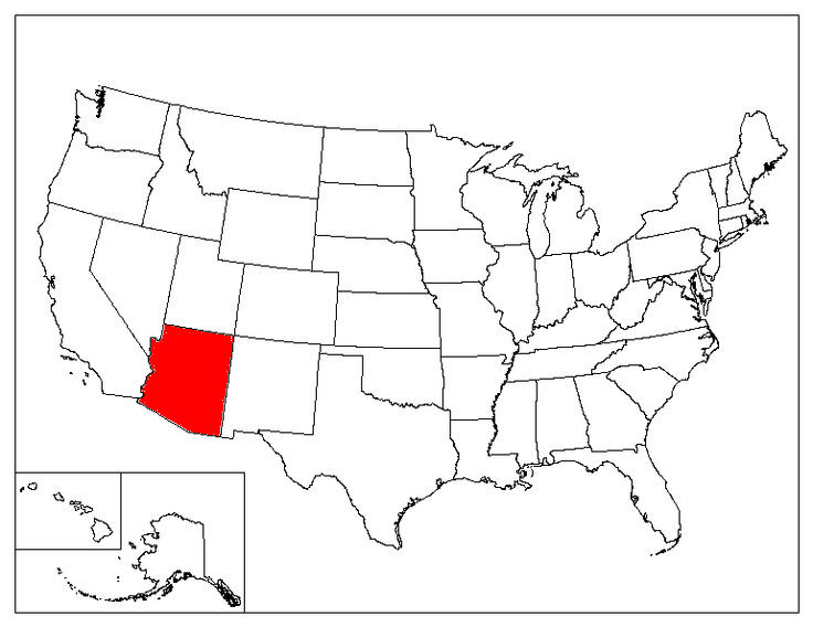 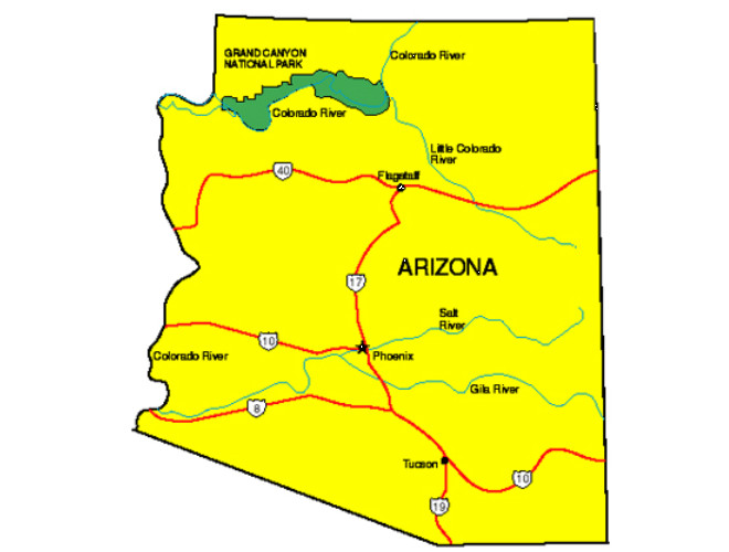 Geography & Demographics: State Abbreviation: AZ State Capital: Phoenix State Size Total (Land + Water): 113,998 sq miles; Land Only: 113,635 sq miles Number of Counties 15 Time Zone Mountain Time Zone Bordering States California, Colorado, Nevada, New Mexico, Utah Highest Point Humphreys Peak, 12,637 feet National Parks Grand Canyon National Park Petrified Forest National Park Saguaro National Park State Population (2020) 7,151,502 State Population Density 62.9 people / square mile Area Codes 480, 520, 602, 623, 928 Top 5 Cities (2020 population) Phoenix (1,708,127) Tucson (553,571) Mesa (528,159) Chandler (265,398) Scottsdale (262,647) Government & Legislature Statehood February 14, 1912 Electoral Votes 11 State Flag Arizona State Flag State Symbols State Amphibian Arizona tree frog State Bird Cactus Wren State Butterfly Two-tailed swallowtail State Colors Blue and gold State Fish Apache trout State Flower Saguaro cactus blossom State Fossil Petrified wood State Gemstone Turquoise State Mammal Ringtail State Motto Ditat Deus (God enriches) State Neckware Bola tie State Nickname The Grand Canyon State State Reptile Arizona ridge-nosed rattlesnake State Tree Palo Verde |